ページの先頭です。
メニューを飛ばして本文へ


 <外部リンク>


 <外部リンク>
 <外部リンク>

よく見られているページ
ふるさと納税 移住定住促進 電子申請システム 能登 SDGs ラボ 揚げ浜式塩田 みつけたろう 見附島


本文
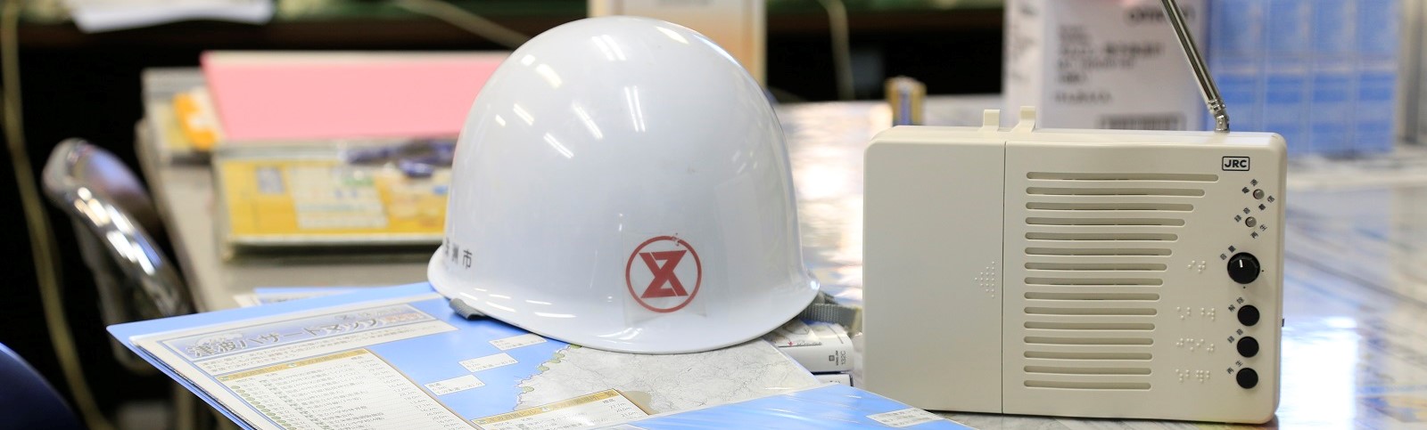
ハザードマップ
津波ハザードマップ(平成30年2月1日更新)
石川県が、津波防災地域づくりに関する法律に基づき設定した、石川県津波浸水想定区域図<外部リンク>に基づき、被害予測地図(ハザードマップ)を作成しました。
ハザードマップには、津波来襲時の緊急一時避難場所と代表的な避難路及び津波が終息した後に一定期間滞在するための指定避難所を記載しました
PDF形式のファイルをご覧いただく場合には、Adobe社が提供するAdobe Readerが必要です。
Adobe Readerをお持ちでない方は、バナーのリンク先からダウンロードしてください。(無料)
Adobe Readerをお持ちでない方は、バナーのリンク先からダウンロードしてください。(無料)
 珠洲市役所法人番号2000020172057
〒927-1295 石川県珠洲市上戸町北方一字6番地の2
Tel:0768-82-2222(代表) Fax:0768-82-5685(代表)
開庁時間:平日の午前8時30分から午後6時30分まで※土日祝日、年末年始を除く


<外部リンク>
<外部リンク>